About the Urban Analytics Lab
We are a multidisciplinary research group focusing on urban data management and analysis, geographic data science, and digital twins at the Department of Architecture of the National University of Singapore (NUS), a leading global university centred in Asia.
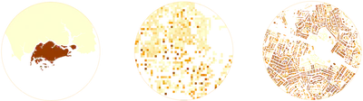
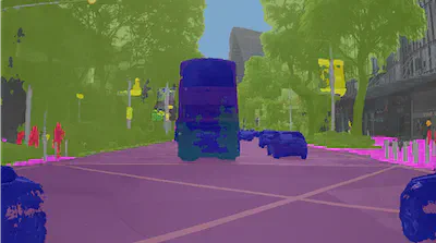
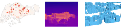
Our mission is to leverage and make sense of big geospatial data at different scales for urban applications and catalyse the development of spatial data infrastructures and digital twins in the realm of smart cities and the built environment. We are particularly interested in the interface of emerging urban datasets such as street-level imagery, dynamic/sensor data, and 3D city models with the state of the art of artificial intelligence to solve contemporary urban challenges and provide a strong foundation to advance urban informatics. Crowdsourcing plays an important role in our research, as we follow and contribute to the vibrant and impressive developments in Volunteered Geographic Information (VGI) and engage such data in our advancements.
The research group was established in 2019 by its Director/PI Dr Filip Biljecki, Associate Professor at the NUS College of Design and Engineering and the NUS Business School, and has been a home for dozens of enthusiastic researchers who share ambitions about making our cities smarter. You can read more about our research agenda also in an interview with the PI.
We are involved in several international collaborations and organisations such as the International Society for Photogrammetry and Remote Sensing (ISPRS) and the Open Geospatial Consortium (OGC).
Within NUS, we collaborate primarily with several sister labs such as the Building and Urban Data Science (BUDS) Lab, the Integrated Data, Energy Analysis + Simulation (IDEAS) Lab, the Behavioural Cognitive Science (BeCoS) Lab, and the Urban Climate Design Lab (UCDL), forging a constellation of research groups with complementary agendas operating at converging scales and with shared objectives.
Besides funding from NUS and academic/government organisations such as Singapore’s Ministry of Education, we also receive support from industry, e.g. Takenaka Corporation from Japan.
Some of our activities are also featured in a recent video:
If you are looking for a paper that overviews our work, this 2023 book chapter, part of the Handbook of Geospatial Artificial Intelligence, describes a portion of our research agenda and recent work.
You are welcome to follow our work through Twitter, LinkedIn, blog, and papers. You may also be interested in our home-grown data and code that we released openly.
The full list of our interests and key words: Geographical Information Science (GIS), geospatial machine learning, GeoAI, geographic data science, spatial data infrastructure (SDI), 3D city modelling / 3D GIS / digital twins, 3D urban analytics, street view imagery, spatial data quality and standardisation (CityJSON, CityGML), thermography, Volunteered geoinformation (VGI) and OpenStreetMap (OSM), Building Information modelling (BIM) 3D underground data modelling, and 3D cadastre.

Check out also some other videos about our work: